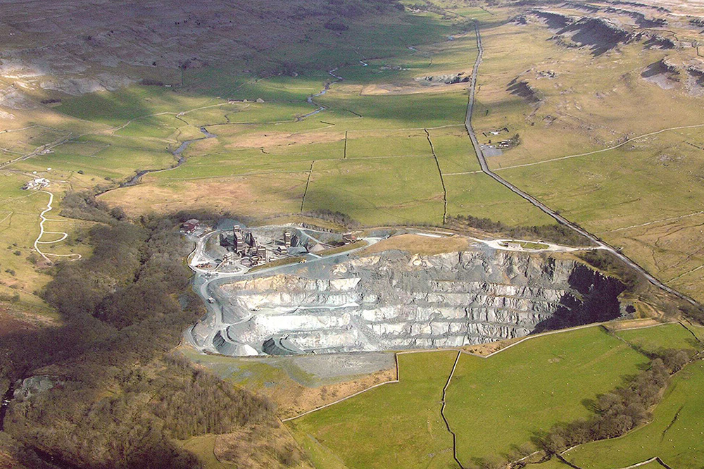
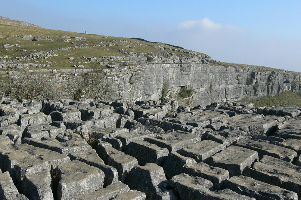
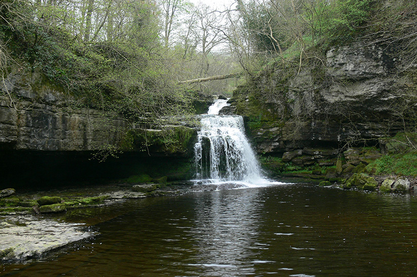
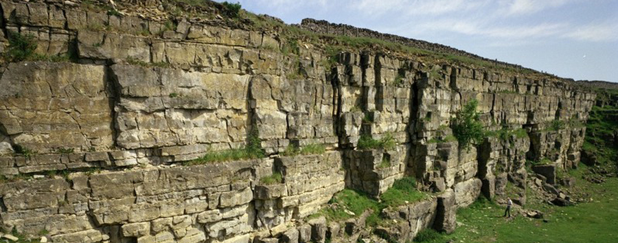
Although the nationally most important geological sites have been designated as Sites of Special Scientific Interest (SSSI) there are many other sites, which are important and deserve some degree of protection and/or conservation. In most parts of the country local groups of professional and amateur geologists, together with other conservation groups such as the Wildlife Trusts, have formed RIGS groups and Geology Trusts, to identify and where appropriate designate, for conservation purposes, geological sites. Initially, the sites were known as Regionally Important Geological Sites (RIGS) or Regionally Important Geological and Geomorphological Sites (RIGGS) but since 2006 the term Local Geological Site (LGS) has been adopted. In North Yorkshire non-statutory biological sites are known as Sites of Importance for Nature Conservation (SINCs) and Local Geological Sites have a similar status, in that they are non-statutory but may receive a measure of protection by being notified to local authorities and included in the relevant local development framework documents. RIGS and LGS are identified particularly for:
 the value of the site for educational purposes in life-long learning
- the value of the site for study by both professional and amateur Earth scientist
- the historical value of the site in terms of important advances in Earth science knowledge, events or human exploitation, and
- the aesthetic value of the site in the landscape, particularly in relation to promoting public awareness and appreciation of Earth sciences.
Click here to visit GeoConservationUK
Currently, there are 12 RIGS within the Your Dales Rocks Project Area, which were identified by the Cumbria RIGS Group, and are all located within the Cumbrian section of the Yorkshire Dales National Park. The North Yorkshire Geodiversity Partnership is a RIGS/LGS Group, and its steering group also acts as the North Yorkshire Local Geological Sites Panel responsible for identifying and, where appropriate, approving candidate geological sites.
Cumbria RIGS
| NAME | PRINCIPAL INTEREST | EAST | NORTH |
| Sedgwick Trail | Structures | 369721 | 491317 |
| Hebblethwaite Hall | Ravenstonedale Group | 369839 | 493389 |
| Castlehaw | Upper Old Red Sandstone Group | 366148 | 492573 |
| Straight Bridge | Upper Old Red Sandstone Group | 367721 | 492322 |
| Ashbeck Gill | Quaternary – Devensian | 366840 | 493734 |
| Settlebeck Quarry | Structures | 365991 | 492841 |
| Cautley Crag | Quaternary – Devensian | 368261 | 497325 |
| Combe Scar | Quaternary – Devensian | 367773 | 487460 |
| Grisedale | Quaternary – Devensian | 377347 | 492851 |
| Barbondale | Structures | 367123 | 484222 |
| Taythes Gill | Structures | 371125 | 495140 |
| Crook of Lune | Quaternary – Fluvial and glacial | 362281 | 495707 |
Cumbria RIGS in the Your Dales Rock Project Area
Local Geological Sites
In 2013, exposures at Horton Quarry, Old Ingleton Quarry and Threshfield were formally designated by the Yorkshire Dales National Park Authority as the first Local Geological Sites. A further five have been approved and, currently, approximately 150 additional sites are under consideration for designation in the NYGP area.
Click here to download a copy of ‘Local geological sites – information for site owners and managers’


